The Peloponnese: Southern Greece’s Peninsula of Mountains, Beaches and Ancient Cities
The Peloponnese is the large peninsula of southern Greece, a mountainous, green land of about 21,550 square kilometres that the Corinth Canal cut free from the mainland. Four peninsulas reach south into the sea, mountains rise to 2,000 metres over fertile valleys and sandy bays, and the region carries some of Greece’s greatest ancient cities — Corinth, Mycenae, Olympia, Epidaurus and Sparta. Travellers fly in through Athens or Kalamata and explore by car. Hire a car to reach the parts of the Peloponnese the buses miss, covered in our the Peloponnese car hire guide.
- Area
- 21,550 km²
- Mountains
- Up to 2,000 m
- Airports
- Athens & Kalamata
- Southern capes
- 4


The land: a peninsula that became an island
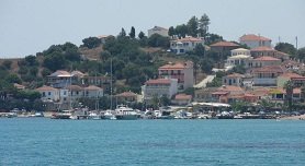
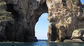
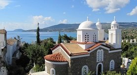
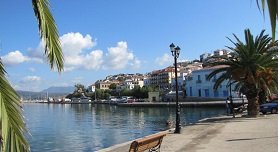
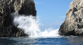
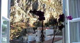
The Peloponnese covers about 21,550 square kilometres at the southern end of the Greek mainland. Since the Corinth Canal was cut, water separates it from the rest of the mainland, so strictly it now behaves like an island, yet everyone still calls it a peninsula — and bridges carry the roads across. It is the largest of the Greek peninsulas: a mountainous, green country of oak and pine, with peaks reaching 2,000 metres above fertile valleys, and four peninsulas that stretch south into the sea like fingers. Sandy beaches line its bays, and historical monuments stand everywhere — monasteries, Venetian fortresses and ancient Greek and Roman remains. Islands surround it on every side: the Argo-Saronic islands of Spetses, Hydra and Aegina lie off the east coast, the Ionian islands of Corfu and Zakynthos off the west, and Kythera to the south is counted among the Ionians.
Ancient cities and monuments
The Peloponnese holds a run of Greece’s most famous ancient cities. Just outside the modern town of Corinth stand the ruins of Ancient Corinth. About 25 kilometres southwest lie the remains of Mycenae, the city of King Agamemnon, who led the Greeks in the Trojan War; the gold “death mask of Agamemnon” was found here and is now shown in the museums of Athens. At Argos is the temple of Hera. The sanctuary of Zeus at Olympia, where the Olympic Games began, and the theatre of Epidaurus, the largest known ancient Greek theatre, draw visitors from across the world; at Epidaurus the well-preserved theatre stands beside the famous place of worship of the healing demi-god Asclepius, about 10 kilometres inland from the old harbour of Palia Epidavros, whose ruins lie partly under water. In Laconia, the ruins of ancient Sparta — for a long time the great rival of Athens — sit below the Byzantine city of Mystras.
Nafplio and the Argolid
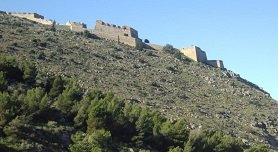
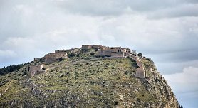
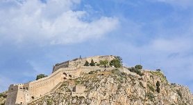

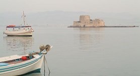
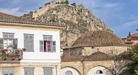
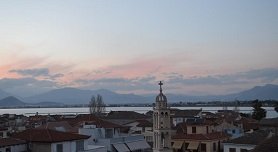

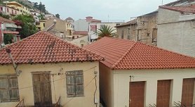
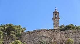
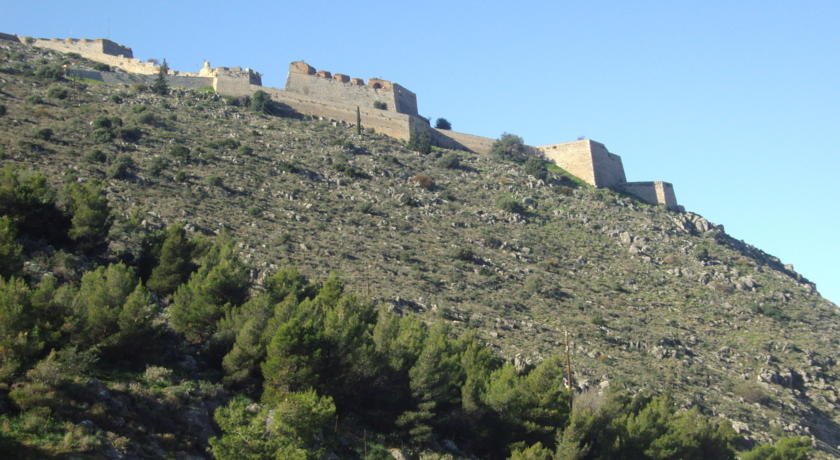
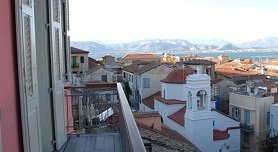
Nafplio is a handsome harbour town on the Gulf of Argolis, and its elegant houses and marble-paved streets show the wealth it once held. People have lived here continuously since 3000 BC; by legend the town takes its name from King Nauplios. Byzantines, Franks, Venetians and Turks all held it before 30 November 1822, when it became the first city the Greeks took back from the Turks, and from 1829 to 1835 it served as the first capital of the modern Greek state. Above the town, on a 216 metre hill, stands the Palamidi fortress, finished by the Venetians in 1714; it fell to the Turks in 1715 and stayed in their hands until 1822. The smaller Bourtzi fort on an islet in the harbour dates from 1473 and was built by the Venetians against pirates. The best beaches nearby are Tolo (Tolon), 10 kilometres south of Nafplio, and Nea Kios.
Messenia, Laconia and the south
Kalamata is the capital of Messenia, in the southwest of the peninsula on the Gulf of Messinia, with about 45,000 inhabitants, an international airport and an important port; ferries to Kythera and Antikythera leave from here, and several long sandy beaches line the gulf. Above the coast rise the Taygetos mountains. Stoupa, once a small fishing village and now a seaside resort, lies 45 kilometres southeast of Kalamata, with four buses a day from the airport. West of Kalamata the coast runs past the fishing village of Finikounda and the towns of Methoni, Pylos and Koroni. In the far south of Laconia, the town of Neapoli faces the Laconian Gulf; from its port the ferries to Elafonisos, Kythira and Antikythera make the shortest crossings from the mainland.
Where to go
| Highlight | Region | Known for |
|---|---|---|
| Nafplio | Argolid | First capital of modern Greece; Palamidi and Bourtzi fortresses |
| Mycenae | Argolid | City of Agamemnon; the gold death mask was found here |
| Epidaurus | Argolid | Largest known ancient Greek theatre; sanctuary of Asclepius |
| Argos | Argolid | Temple of Hera |
| Ancient Corinth | Corinthia | Ruins of the ancient city beside modern Corinth |
| Olympia | Elis | Sanctuary of Zeus; birthplace of the Olympic Games |
| Sparta & Mystras | Laconia | Ruins of ancient Sparta below the Byzantine city of Mystras |
| Kalamata | Messenia | Regional capital, airport and port; long sandy beaches |
| Stoupa | Messenia | Former fishing village, now a seaside resort |
Getting there and around
You reach the Peloponnese by air through Athens or Kalamata, then cross by the bridges that link the peninsula to the mainland. Kalamata’s international airport sits in the southwest and connects to resorts such as Stoupa by bus. Ferries to Kythera and Antikythera run from Kalamata, and the port of Neapoli in the south offers the easiest crossings to Elafonisos, Kythera and Antikythera. The peninsula is large, so a rental car — picked up at Athens or Kalamata, often at the airport itself — is the practical way to reach the ancient sites, the mountain villages and the beaches that lie far apart.